Maptaskr For Individual Records (Record Level)
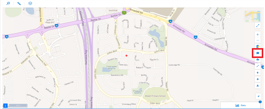
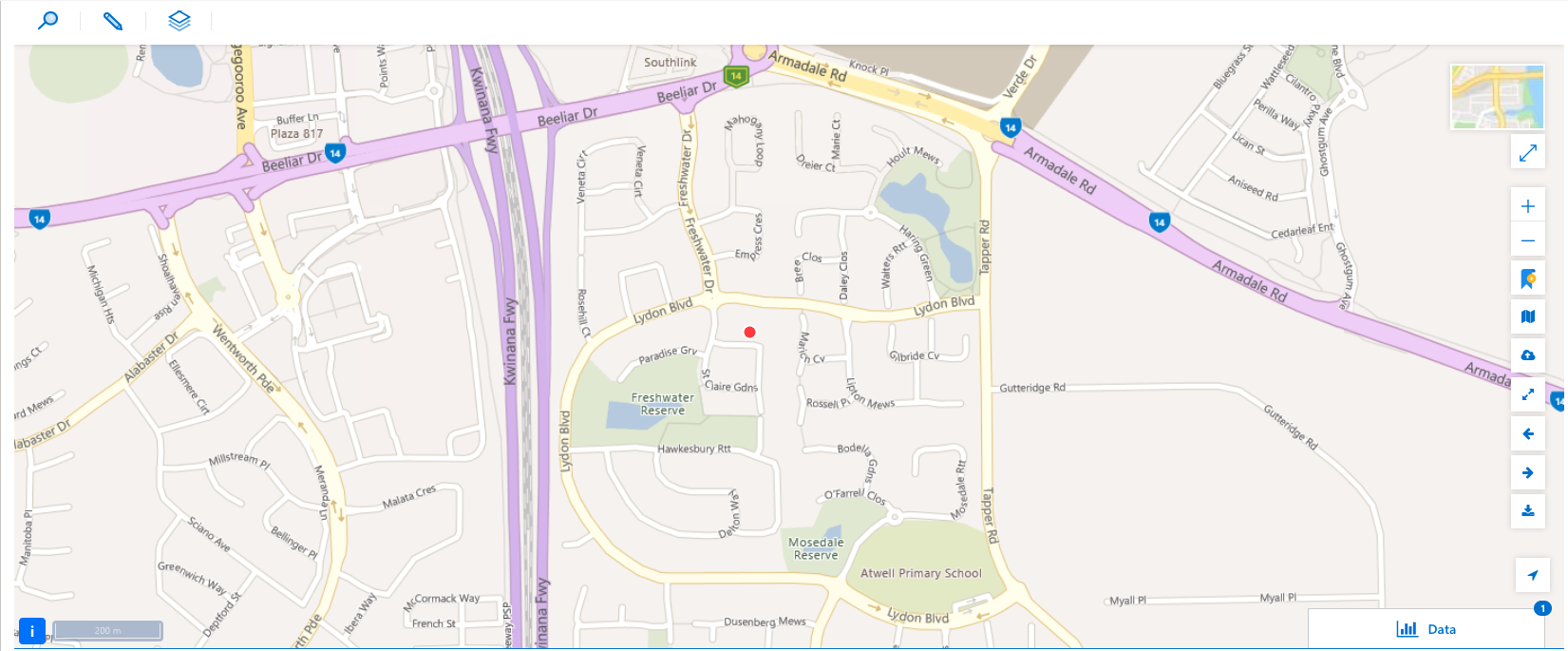
Maptaskr is also able to provide a Map View from within a particular record. The Map View features provided at the record level will differ slightly from those available for that at a Dashboard level. This section will provide an over of the features available at the record level.
Note: Your view of the Maptaskr Map Viewer within record details will differ depending on how Maptaskr has been implemented by your organisation.
Figure 64: Maptaskr for Invidual Records.
Search
Clicking the icon highlighted below will open the search panel.
Figure 65: Search Icon.
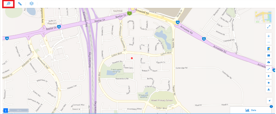
Within the search function you have the option to:
- Search for an address.
- Search for an address using latitude and longitude.
- User also has access to bookmarks.
Annotation
Clicking the icon highlighted below will open the annotation panel.
- Upload .zip Shapefiles, KML, GeoJSON files
- Drop pins
- Draw annotations
Figure 66: Annotation Icon.

Layers
Clicking the icon highlighted below will open the layers box.
Figure 67: Layers Icon.
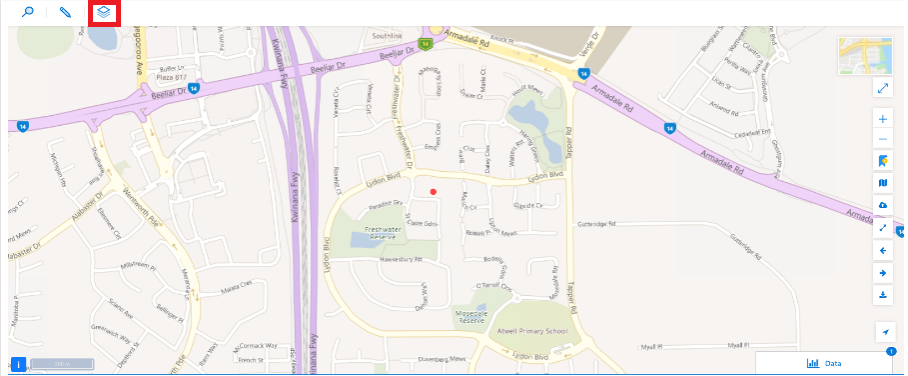
Please note this app does not allow for adding/creating layers. A user may only turn layers on/off.
Specific Record Level Map Controls
Save Map View
Clicking the highlighted button below will save a Map view.
This will take snapshot of all the elements that are currently turned on, the zoom level and current extent of the map and save it against a record (meaning this is unique to the record). When revisiting this record, the map will automatically load that Map view and go to the saved zoom level, extent and turn on the relevant layers.
Figure 68: Save Map View.