Geographies
By default, Field Service uses post codes to define Service Territories. However, this can be a challenge if post code areas are large and covered by multiple staff. To solve this problem Maptaskr allows the creation of Territories based on Geography. These are areas that are simply defined by drawing a polygon on a map. Maptaskr can use a geospatial query to allocate Work Orders based on these, rather than post code.
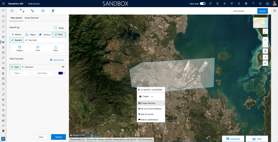
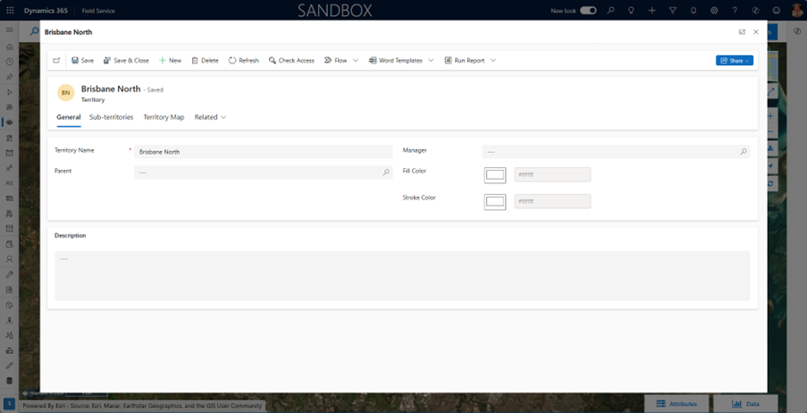
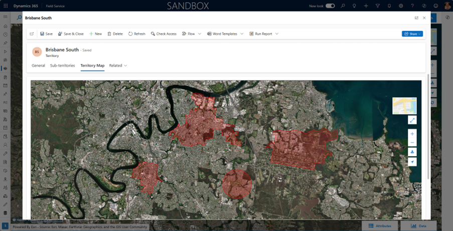
After drawing a polygon on the map give the Territory a name and save the record. Territories can be colour coded.
The Territory Map tab shows the area defining it.
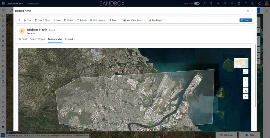
A Territory can be made up of multiple, non-contiguous areas and a combination of Post Code areas and free-hand shapes.
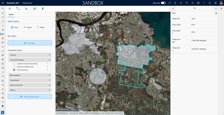
The publicly available Post Code Area ArcGIS layer makes it easy to identify a Post Code area.
https://geo.abs.gov.au/arcgis/rest/services/ASGS2011/POA/MapServer/0